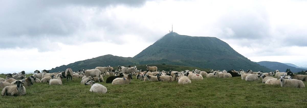
The Puy de Dôme is the most emblematic FFVL site in Auvergne for free flight enthusiasts. Since hang-gliding in the 1970s until today, this site has attracted pilots from all over France to fly in the magnificent setting of the Chaîne des Puys, a UNESCO World Heritage site.
Perched at the top of the volcano, the Puy de Dôme paragliding site reaches an altitude of 1465 m and overlooks all the surrounding volcanoes as well as the town of Clermont-Ferrand.
10km west of Clermont-Ferrand, the Puy de Dôme or PDD is visible from far away, dominating the chain of puys, and indicated early enough by the signposting, it will be easy to get there. The access road to the summit of the Puy de Dôme is no longer accessible by car since 2010. To reach the summit, you can go up on foot, via the "muleteers' path" by parking at the Ceyssat pass, or via the "goats' path", from the "panoramic dome" car park.
Inaugurated in 2012, this cogwheel train will take you to the summit in less than 20 minutes. There are also very attractive season tickets at 35€ which allow riders staying for several days to go up for a negligible price. For more information: here are the timetables of the Puy de Dôme train and the current prices.
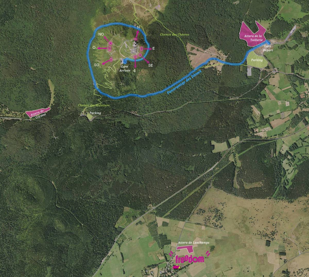
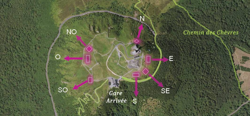
It is unique enough to be underlined, the different take-offs, spread around the summit, allow you to take off on all orientations! In order not to clutter the summit with markers and information on all the take-offs, it is advisable to ask the local pilots for the rules of use of the site. It is possible almost everywhere to prepare outside the take-off area itself, and to arrive with the glider in a ball to avoid cluttering up the slope.
Here is a brief description of the 3 official landing areas of the Puy de Dôme.
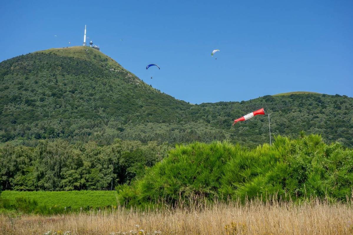
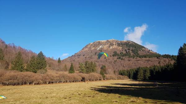
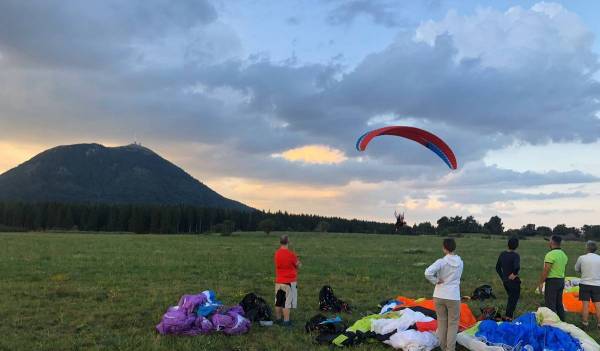
The Puy de Dôme is a great place to learn and improve your skills, from splashing to long-distance flying and aerobatics. The reasonable difference in altitude makes for beautiful paragliding flights, but if you want to prolong the pleasure, you need to develop good lift management.
The site record is held by Anthony Acket, a local pilot, since July 2022 with 252,14 km.
The summit of the Puy de Dôme, before being a paragliding spot, is an important place for tourism in Auvergne. You can discover the remains of Mercury's temple, several catering areas, toilets, a shop and above all a breathtaking view of the volcanoes of the puys chain. Pilots used to the wilder mountains of the Sancy massif, the Forez mountains, or the Cantal might be surprised by the crowd of spectators present at the summit and attracted by the sweep of paragliders. Concerned about the image that tourists will keep in their memory, it will be all the more important for us all to be technically exemplary.
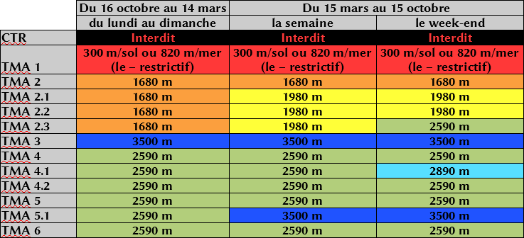
The proximity of Clermont-Ferrand and the airport of Aulnat imposes on us flight constraints to the east of the Puy de Dôme. The PDD site is located in the TMA5-1 and the authorised altitude in summer (from 15/03 to 15/10) is 3500m and 2590m in winter (16/10 to 14/03).
From North to South via the West, the height of the authorized ceilings makes it possible to carry out very beautiful Cross (distance flights), in direction of Sancy, Cantal, or in North, in direction of Montluçon and more.
Every summer, the Traversin plateau, between the Puy de Dôme and the Puy du Pariou to the north, but also the summit of the Puy de Dôme, welcomes flocks, which can be parked near the take-off areas. Pilots should check with the professionals on site, so as not to disturb the good understanding between shepherds and paragliders.
Good flights to all, and do not hesitate to contact us if necessary: 0762180360
