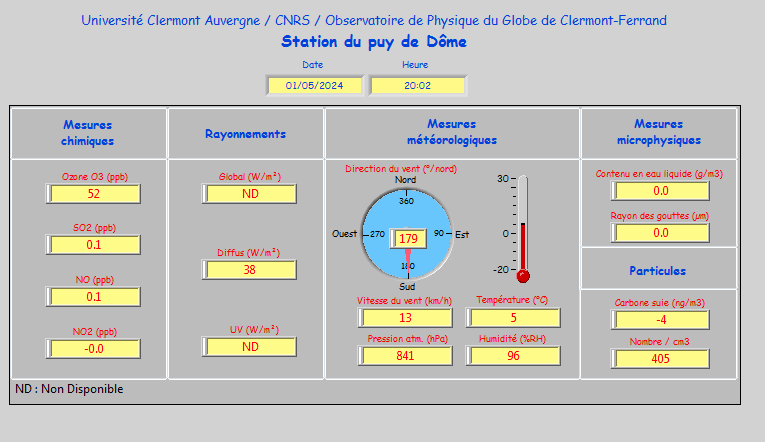
Modern technology now makes it easy to find out the weather at the top of the Puy de Dôme in real time. The OPGC (Observatoire de Physique du Globe de Clermont-Ferrand) has set up a real weather station both at the top of the volcano and on the campus of the Cézeaux University in Clermont Ferrand. This station measures the speed and direction of the wind as well as any gusts thanks to a sonic anemometer and a Vaisala wind vane, all of which is digitised and made available to the public free of charge on the Internet.
This gives the following observations at the top of the Puy de Dôme:

To make a paragliding flight, whether it is a tandem or a solo flight, a certain number of parameters must be respected to remain safe.
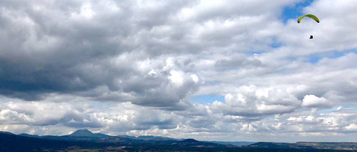
When paragliding, it is compulsory to fly visually (VFR), i.e. to be able to see where you are going in order to avoid any risk of collision with the ground or with another aircraft. It is therefore compulsory to fly during the day and it is forbidden to take off in a cloud and to cross a continuous cloud layer. However, it is possible to play with the clouds by staying on the edge or to cross a sparse cloud layer by taking advantage of a large gap.
The paraglider is a machine that can fly at a speed of around 30-40 km/h depending on the type of glider and the load carried. It is therefore necessary that the wind at take-off is significantly lower than the speed of the paraglider to avoid finding yourself in reverse once in the air. This is why instructors pay particular attention to the analysis of wind speed and gusts, because on very sunny days, between the meteorological wind speed, the acceleration effect due to the shape of the Puy de Dôme and the possible triggering of thermal bubbles, this maximum wind speed can quickly be reached. It is therefore not because the sky is a clear blue that it will be possible to make a paragliding experience. Only the opinion and experience of the instructor will allow you to make the decision at the last moment. If there is no wind, no problem: just run up the slope to inflate the wing and fly away gently.
Some days the weather conditions can change very quickly on the Puy de Dôme. A very small cloud with only a few wisps can turn into a small cumulus cloud in a few minutes and a few minutes later into a congestus cloud, which is already much larger and more unpleasant, and eventually into a cumulonimbus cloud, a real storm cloud that can rise to an altitude of more than 10,000 metres. The instructors know how to "read" this type of cloud and have the experience to anticipate the change in the air mass in order to land safely in time.
Météoblue is a really interesting application for forecasting the weather for the next few days in the Chaîne des Puys and the Massif Central. Like Météo France, Météoblue provides multi-day forecasts of wind, cloud cover and temperature. The tool also provides impressive global wind modelling for the next few days, which gives a better insight into the future evolution of the air mass.
Other applications such as Météociel, Météovergne and Météoparapente complete the analysis.
Holfuy beacons are ultra-compact automatic weather stations consisting of a solar sensor, a GSM 3G transmitter and a set of sensors measuring wind direction and speed, temperature, humidity, atmospheric pressure, precipitation and luminosity. Easy to install, the Holfuy beacons allow all free flight and air sports enthusiasts to make the most of the best days of the year.
The Holfuy beacon is installed on the north side of the Puy de Dôme at an altitude of 1450 metres.
The Panoramique des Dômes is open all year round, or nearly so, if you take out the 2 weeks of compulsory technical maintenance and the few days closed from time to time in the low season. You can therefore climb to the summit by the cogwheel train in the middle of winter in the snow. Be careful once you get to the top if you plan to do the tour of the Puy de Dôme, some passages will be slippery and tricky if you are not well equipped. You can also go up on foot by the muleteers' path or by the goats' path, again with a minimum of equipment.


