Découvrir le Puy de Dôme par le chemin des Chèvres
The emblematic volcano of the Chaîne des Puys, the Puy de Dôme and its summit at an altitude of 1465 m is a major tourist attraction in Auvergne. Listed as a UNESCO World Heritage Site, along with the 80 other dormant volcanoes in the Chaîne des Puys and the Faille de la Limagne, this major French site is perfectly developed to ensure maximum respect for biodiversity and minimum impact in terms of soil erosion. To this end, long-distance footpaths and historic access routes are signposted and maintained to enable everyone to enjoy this exceptional natural area. While it is possible to climb to the summit of Puy de Dôme on the little cog railway, it is also possible to do so on foot. The classic family outing generally takes the Muleteers‘ path, but a very pleasant alternative is to take the Goats’ path. Ready to discover the Puy de Dôme via the mythical Chemin des Chèvres?


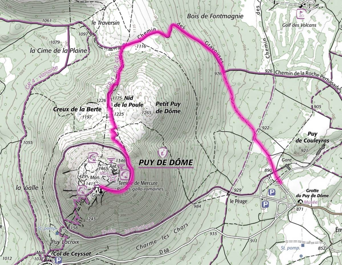
The start of the Chemin des Chèvres is located at the Panoramique des Dômes departure station. So it's easy to park there all year round, whether you're travelling by car, camper van or van. To get there, simply cross the Panoramique de Dômes railway line, pass in front of the paragliding landing and follow the path into the forest.
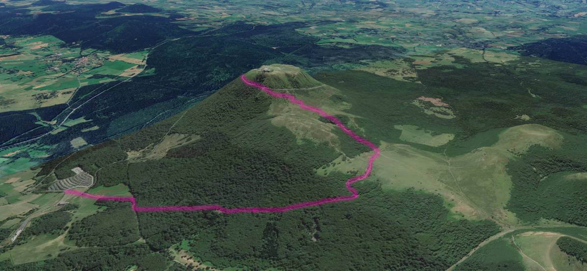
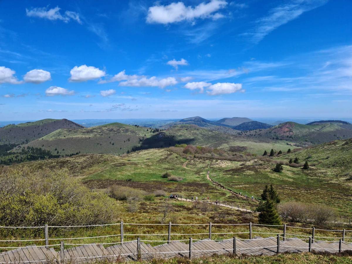
The climb from the free car park to the main summit esplanade takes around 530 metres. A large part of the ascent takes place in the forest as far as the Petit Puy de Dôme pass, before finishing with a section of stairs that will put your thighs to the test.
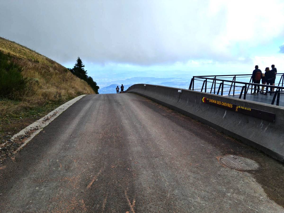
To reach the highest point of the Puy de Dôme, you'll need to climb another 30 metres or so along the circular path to the summit. You can then enjoy the ruins of the Temple of Mercury and its museum area, the Meteorological Observatory building (OPGC), or the many paraglider take-offs that enliven the skies above the antenna throughout the year.

The ascent along the Chemin des Chèvres is 4.8 km in total, with a gentle but continuous climb through the forest and a steep final ascent up the stairs.

The Chemin des Chèvres is twice as long as the Chemin des Muletiers, and the difference in altitude is also greater. Count on 530 metres for the Chemin des Chèvres compared with 350 metres for the Chemin des Muletiers. The orientation is also very different and can be important depending on the season. The Chemin des Chèvres faces north, while the Chemin des Muletiers faces south. The Chemin des Chèvres will keep you cool on hot summer days and during heatwaves, but it will be formidable, especially on the stairs in winter when it snows and freezes.
In terms of difficulty, the Chemin des Chèvres is best suited to regular walkers, as it is fairly long. Families are more likely to take the mule track.
But it is also possible for the more motivated to do a complete loop starting from the car park at the Dômes panoramic viewpoint, climbing up the chemin des Chèvres, having a picnic at the summit of the Puy de Dôme, or even taking a short paragliding test on the way up, then descending along the chemin des Muletiers to finish back at the starting point along a forest footpath. It's a 10km loop that lets you enjoy all the charms of this volcano, unique in France!

