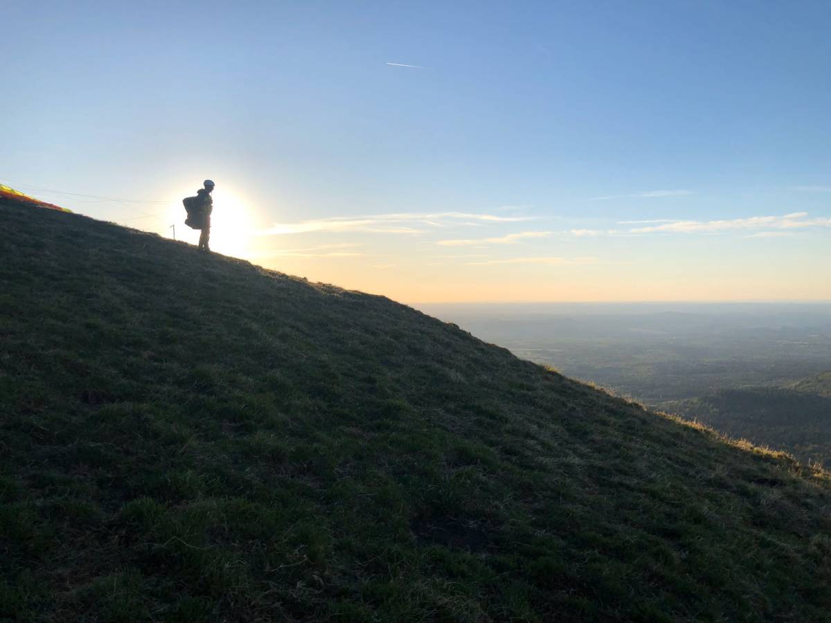
Freedom has created for you an article listing all the paragliding sites accessible to everyone in the Puy de Dôme (63). 15 sites located all over the department: Massif du Sancy, plaine clermontoise, Chaîne des Puys, Livradois-Forez and which will allow you to practice paragliding according to your preferences and your desires: flight on site, flight rando, thermal flight, ...
What to enjoy and discover the department and its landscapes seen from the sky!
How can we not start with the reference site in Puy de Dôme: the Puy de Saint-Sandoux. It is surely the most important paragliding site, where it flies the most often and one of the easiest to access, near Clermont-Ferrand. It is a perfect site for beginners and improving paragliders for short flights or the exploitation of some lift in the air but also for thermal flights and the start of cross country flights for the more experienced. In addition, this site often offers good evening resorts for longer flights.
A site with many strong points but which often gathers a lot of people, especially in summer.
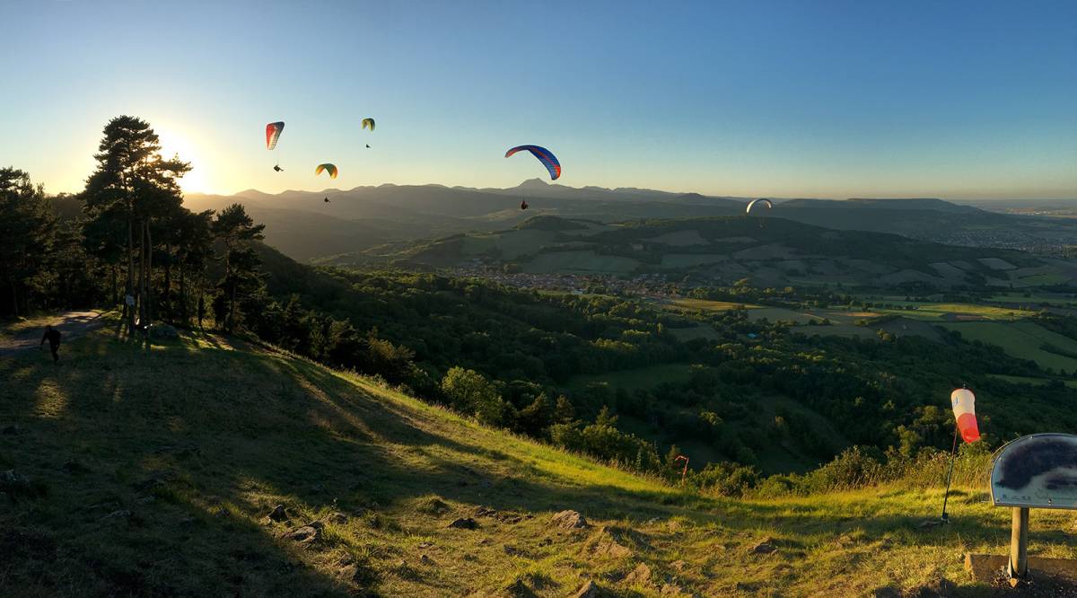
Location: Between Issoire and Clermont-Ferrand, exit n°6 of the A75, exit Plauzat. How to get to the village of Saint-Sandoux
Altitude: 770 metres
Difference in altitude: 240 metres
Direction of take-off : North or East
Access to the take-off: The landing is located about 2km from the Saint-Sandoux exit, indicated by a FFVL sign. There is a small car park for your car. A signposted path leads to the take-off in 25-30 minutes. A road is also accessible by car but parking is forbidden at the summit (drop off only). In winter, the road may be closed by municipal decree.
Landing: Landing without too many obstacles, but quite small and sloping which often causes off-roading. This is not a big problem as the landing is surrounded by agricultural fields. Be careful to respect the agricultural plantations, especially during the spring-summer period.
Find all the information about this site on its FFVL page
We continue with a site not far from Saint-Sandoux: the Puy de Corent. It is a perfect paragliding site for thermal and dynamic flights and not very frequented.
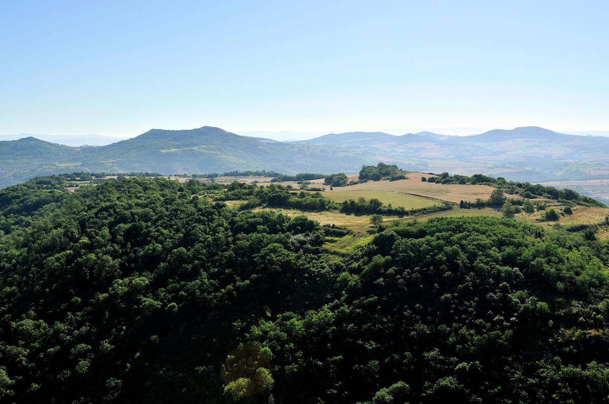
Location: In Corent, 25 minutes south of Clermont near Vic le Comte
Altitude: 600 meters
Difference in altitude: 250 metres
Direction of take off: North-West or South
Access to the take off: It is possible to access the plateau of Corent by car. You will have to walk on the other side of the plateau to reach the take-off (5 minutes walk)
Landing: No official landing sites. There are 2 "paths" where you can land between crops without too much danger depending on the direction of the wind: one in the South and one in the West. In case of a bad landing please respect the crops and/or animals.
Find all the information about this site on its FFVL page
Still in the area, you can also fly at Puy Saint-Romain. Perfect for a simple flight or for thermal and dynamic flying, it is a rather uncrowded site about twenty minutes from Clermont-Ferrand.
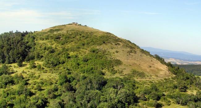
Location: In Saint-Maurice
Altitude: 770 metres
Difference in altitude: 430 metres
Direction of take off: West, South and East
Access to the launch site: It is possible to access the plateau by vehicle (4x4). Otherwise, it is possible to park beforehand, at the top of the village, and to walk up in 15-20 minutes.
Landing: 4 landing places are possible:
Find all the information about this site on its FFVL page
This time we go to the Livradois-Forez. The Mont-Chouvé is an extraordinary paragliding site with a good difference in altitude that allows for a nice flight. A site with an incredible panoramic view on the Livradois plain and a landing in the middle of the village of Job. A rather technical landing but also rather atypical and cool!
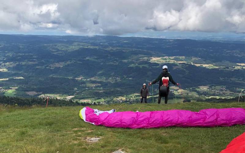
Location: Job near Ambert
Altitude: 1440 meters
Difference in altitude: 800 metres
Take off direction: West
Access to the take off: You can access the take off by vehicle. From Job, take the direction of the Col de Chansert. Once at the pass, take the right-hand road for a little over 2km to reach Mont-Chouvé.
Landing: Fairly technical landing in the village in a field to the north of the village, along the road to the Col de Chansert. Beware of flying over houses.
Find all the information about this site on its FFVL page
Saurier is a small village south of Clermont-Ferrand, which offers several small paragliding sites perfect for thermal and dynamic flights but also potential cross country on nice days. These different sites also offer a variety of take-off directions depending on the conditions.
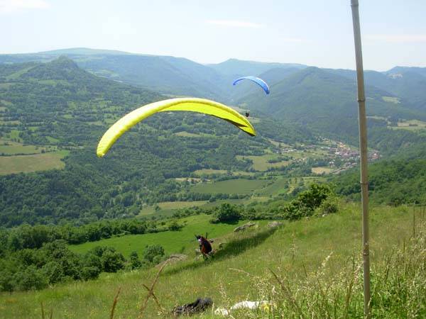
Location: In Saurier between Issoire and Besse
Altitude: 840 to 920 meters
Difference in altitude: 280 to 360 metres
Take-off direction: South, South-West, West, North-West, North-East (depending on the site)
Take-offs: Three take-offs are possible for this site:
Landing: There are two possible landings for these sites:
Find all the information about this site on its FFVL page
A nice site, accessible for all levels, with an easy and not very busy summit.
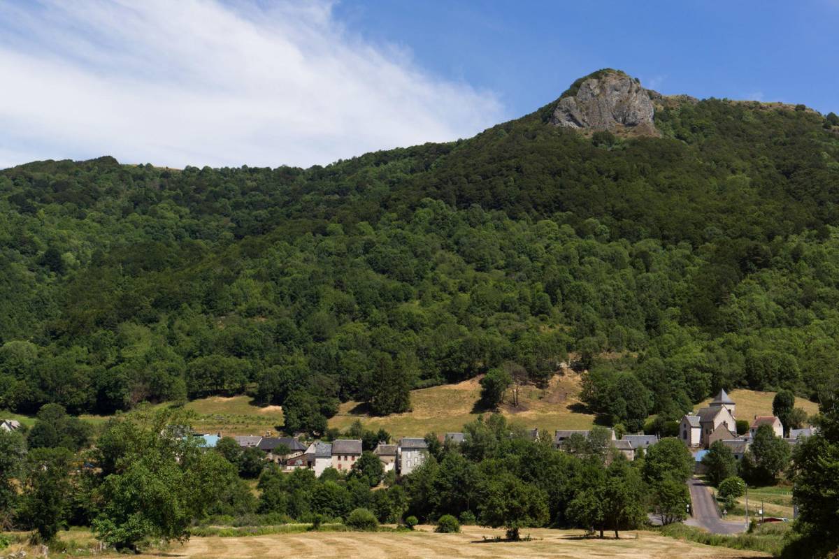
Location: South West of Clermont, between Besse and Issoire
Altitude: 1170 meters
Difference in altitude: 400 metres
Direction of take-off: South-West
Access to the take off: Once you arrive in Valbeleix by car, you have to drive up to the Roche Nité plateau. Once at the top you will find a car park (it is a picnic area). To get to the launch pad, there is a small path on the right just before the bend for 400 metres.
Landing: 2 possible landings:
Find all the information about this site on its FFVL page
Let's go now to the Massif du Sancy which offers a lot of incredible paragliding sites, whether for dynamic or thermal flights, but above all for hiking! In addition to paragliding, it also offers beautiful walks or mountain bike rides.
The first site gathers many Puys and decos around, of which surely the most famous, since it gave its name to the mountain range: the Puy de Sancy. It is the highest summit of the Puy de Dôme and Auvergne.
In Le Mont-Dore, there are about 6 different take-offs: the Puy de Sancy (2 take-offs), the Puy de Cacadogne, the Puy de Cliergue, the Roc de Cuzeau and the Eggravats. And most of them are only accessible on foot. Enough to make beautiful hiking flights!
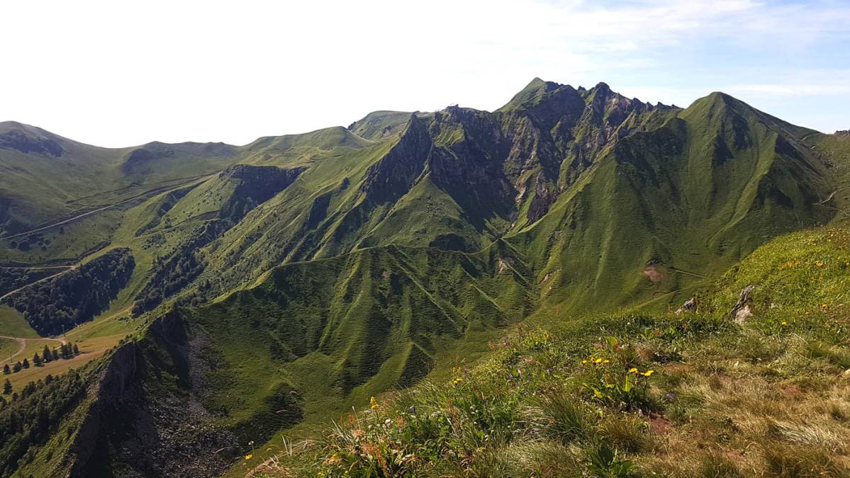
Location: Au Mont-Dore
Altitude: 1500-1870 meters
Difference in altitude: 400-750 metres
Direction of take off: Varies according to the take offs
Access to the take off:
Landing: The official Mont-Dore landing site is on the right hand side of the road leading to the resort after the holiday village. The best conditions are when there is no wind or a not too strong north wind
Find all the information about this site on its FFVL page
The Puy de l'Ouire is a magnificent paragliding site, popular for its rando flight and its incredible panoramic view from the top and in the air. It is a perfect site for beginners with a grassy and easy take off.
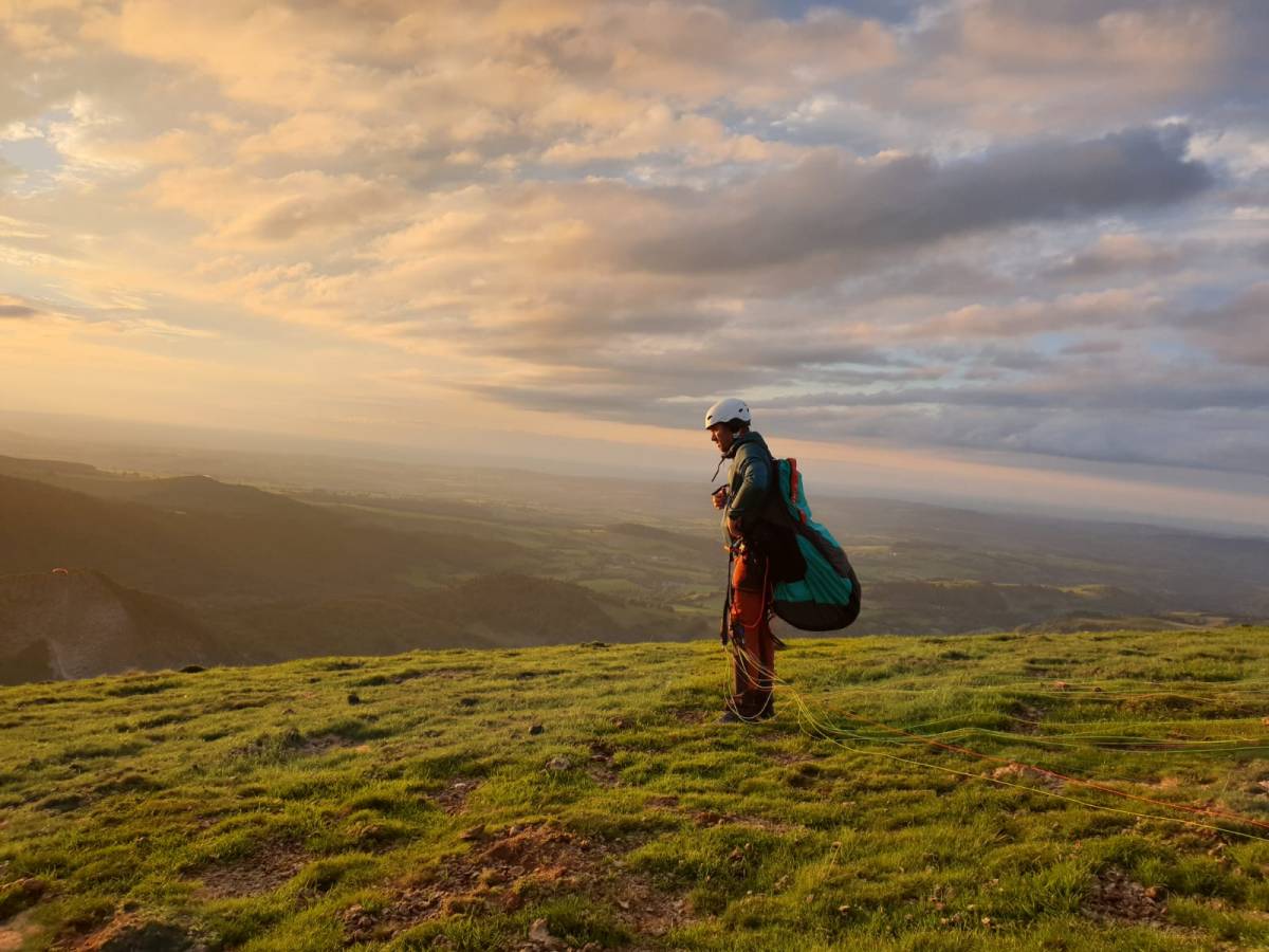
Location: Between Orcival and Mont-Dore, near the Lac du Guéry
Altitude: 1500 meters
Difference in altitude: 450 metres
Direction of take off: North-West and South-West
Access to the summit: To reach the summit, it is necessary to walk 35-45 minutes from the Roches Tuillière and Sanadoire car park. It is necessary to take the GR 30 by leaving towards the East at the level of the col de Guéry
Landing: Atterro at Le Cros, in the valley below the Roche-Sanadoire
Find all the information about this site on its FFVL page
Also in the Sancy, the Puy de la Tâche is a popular paragliding site for its beautiful rando flight and its incredible wild landscape once in the air. It is a perfect site for thermal and dynamic flights but also for potential cross country flights.
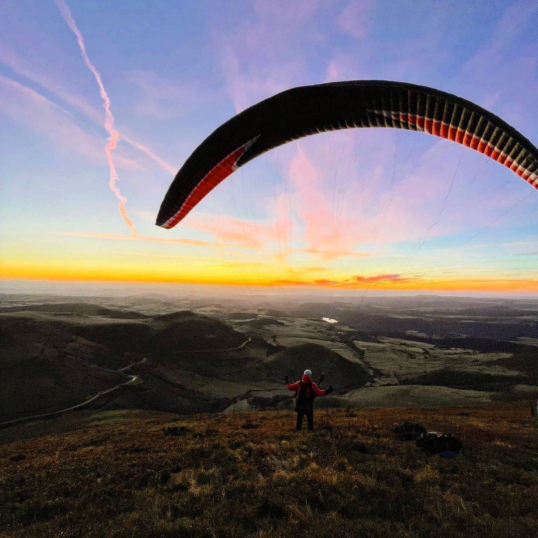
Location: between Le Mont-Dore and Chambon sur Lac, near the Col de la Croix Morand
Altitude: 1620 meters
Difference in altitude: From 220 to 475 metres depending on the landing area
Direction of take off: West, North and South-East
Access to the summit: To reach the summit, it is necessary to walk 30-40 minutes from the Col de la Croix Morand where you will find a path going South
Landing: At the parking of the pass, the landing of the Intérioux being forbidden for some time
Find all the information about this site on its FFVL page
Another beautiful hiking flight in the Sancy, the Puy Gros. A great site, magnificent north of Mont-Dore, at Murat le Quaire with an incredible view of the Puy de Sancy. It's a 45 minute walk to the top but well worth it. The launch area is large and grassy, perfect for all types of paragliders.
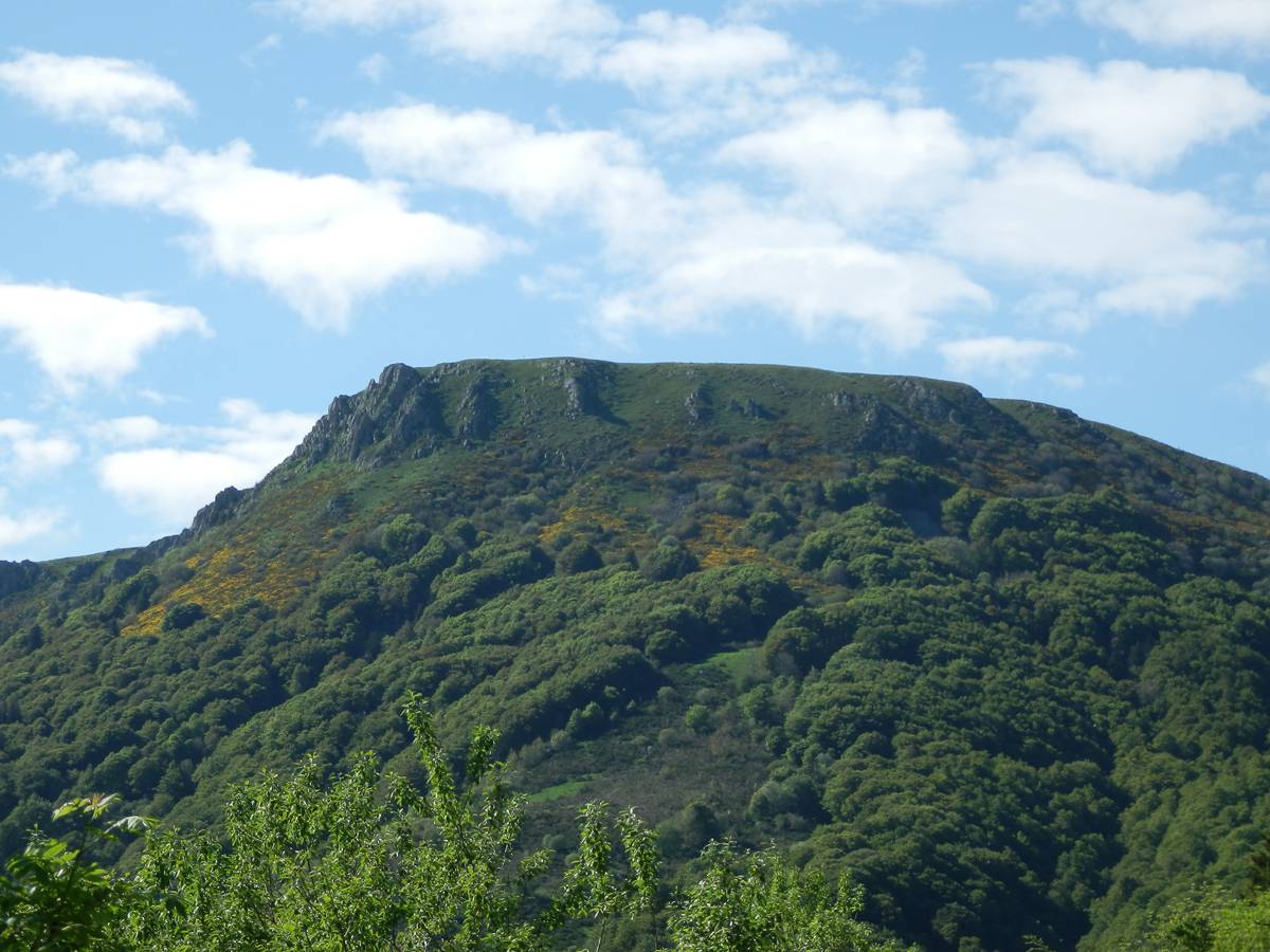
Location: North of Le Mont-Dore, at Murat-le-Quaire
Altitude: 1485 metres
Difference in altitude: 585 metres
Direction of take off: West, South-West, South, South-East and East
Access to the take-off: In Murat le Quaire, join the road to Banne d'Ordanche and park at the start of the forest track before the car park. Follow the path to the summit for about 45 minutes.
Landing: In the place called Les Planches, between Le Mont-Dore and La Bourboule, you will find a large meadow. Beware, you will find an electric line and a large stable on a part of the field.
Find all the information about this site on its FFVL page
The Puy de l'Angle et Mareuilh is a paragliding site renowned for its beautiful hiking flight in the heart of the Sancy. As you can see, there are actually 2 summits where you can take off from the Col de la Croix Saint-Robert via the GR. First the Mareuilh and then for those who prefer to walk a little more, the Puy de l'Angle.
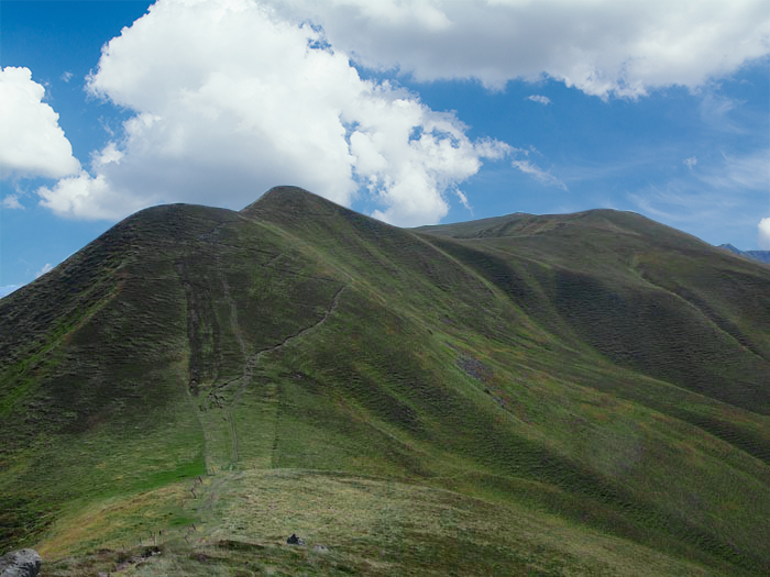
Location: East of Le Mont-Dore
Altitude: 1550 or 1730 metres
Difference in altitude: 400 to 600 metres
Direction of take off: North-West, West, South-West, South, South-East and East (depending on the take off)
Access to the take-off: From the Col de la Croix Saint-Robert, follow the GR. You then have 2 possibilities:
Landing: The official landing place of Le Mont-Dore, on the right hand side of the road leading to the resort after the holiday village. The best conditions are when there is no wind or a not too strong north wind
Find all the information about this site on its FFVL page
The famous ski resort also offers interesting paragliding sites. In winter, this site is used for paragliding, snowkiting and other kinds of sailing sports. There are 4 different sites in Super-Besse, each offering different flights
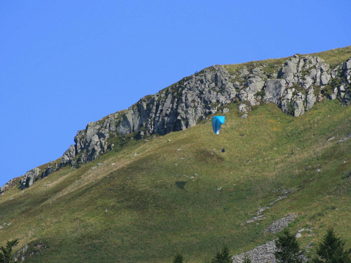
Location: in Super-Besse, in the heart of the resort
Altitude: From 1520 to 1850 metres
Difference in altitude: 200 to 550 metres
Take-off direction: West, South-West, South, South-East and East (depending on the take-off)
Access to the take-off: You have 4 possibilities of take-off:
Landing: 2 landing sites are possible:
Find all the information about this site on its FFVL page
And best of all, the most famous volcano in the Auvergne, renowned for its 360° flying possibilities and its magnificent view of the Puys chain and Clermont-Ferrand, the Puy de Dôme is the emblem of the department. Every paraglider in the region has flown from the Puy de Dôme and every beginner aims to fly there. A perfect site for all types of flight: site flight by train, rando flight by the muleteers or goats path, acro, tandem, ... You will find beautiful restits in the evening for longer flights. Its only drawback due to its fame: it is very busy.
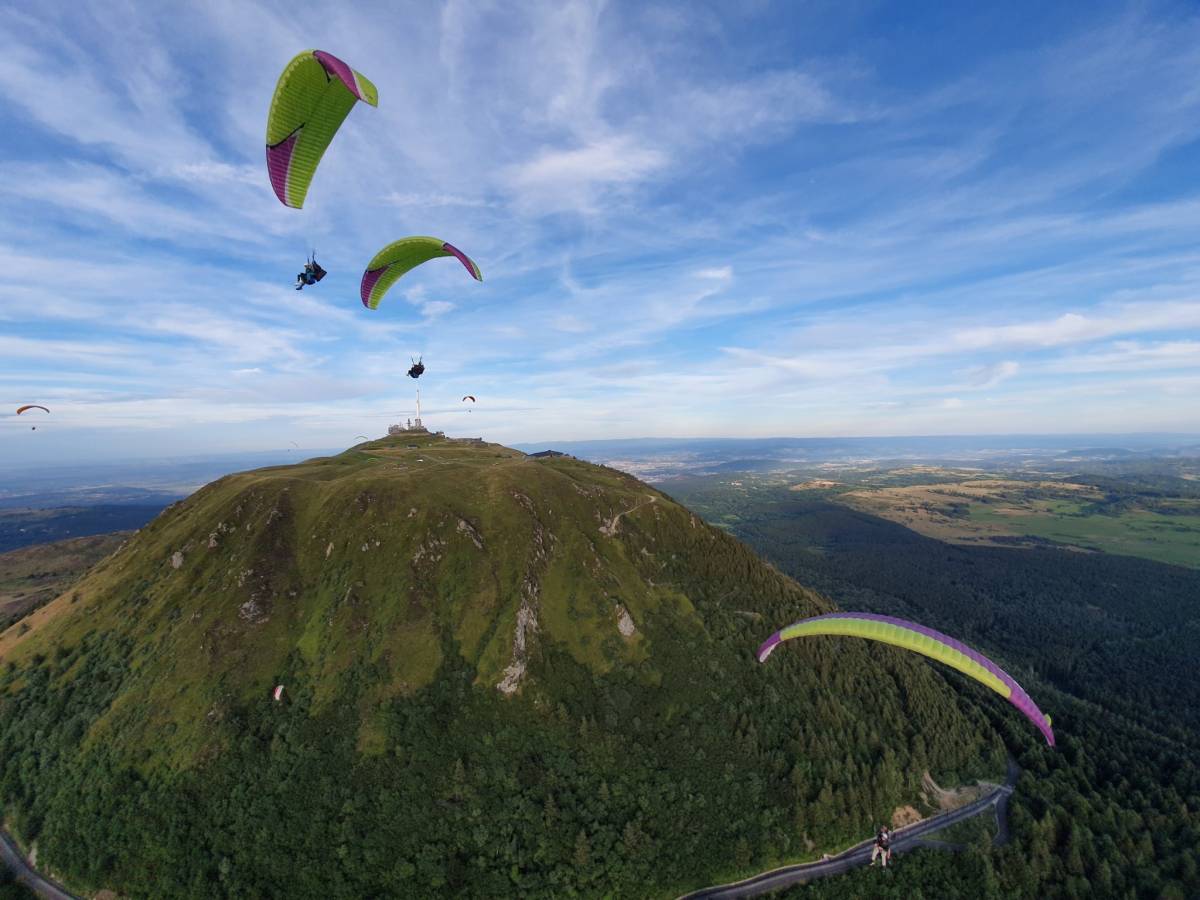
Location: West of Clermont, 20 minutes from Orcines
Altitude: 1465 meters
Difference in altitude: 400 to 500 metres
Take off direction: All directions
Access to take off: You have 3 possibilities to reach the summit:
Landing: 3 landing sites are possible:
Find all the information about this site on its FFVL page
This is the end of this article on paragliding sites in the Puy de Dôme. Before you go flying, remember to check the weather conditions of the day in relation to the flight site, check the flight rules, respect the landing zones (high grass, animals, ...). You can find all the necessary information and details for the flights on the FFVL website.
Paragliding is an aerial sport that allows you to discover beautiful landscapes and experience uniqu...
Have you always wanted to fly a paraglider while the sun was setting, as you can see in photos or vi...

