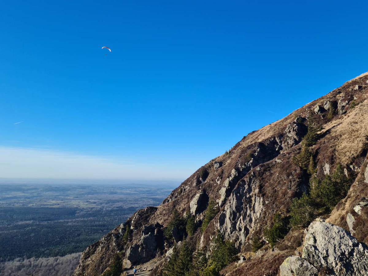
Whether you've come to hike the Puys chain in Auvergne or you've booked a first paragliding experience in the Puy de Dôme, the mule track is one of the essential paths for climbing to the top of the volcano.
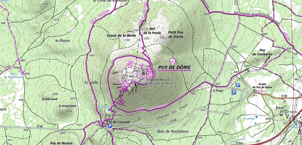
The Chemin des Muletiers dates back to Gallo-Roman times and the via agrippa, a network of Roman roads that criss-crossed France from north to south and from west to east. One of these Roman roads, linking Sainte (Mediolanum Santonum) to Lyon (Lugdunum), passed through the small Roman town of Col de Ceyssat and its roadhouse, which offered accommodation and rest to travellers. This small town was also the gateway to the Temple de Mercure (Roman god of travelers and trade) at the summit of the Puy de Dôme volcano. To reach this high place of worship at the time, you had to take a path winding along the southeast face of the sacred mountain: the muleteers' path.
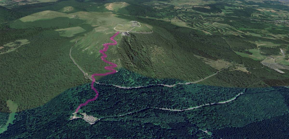
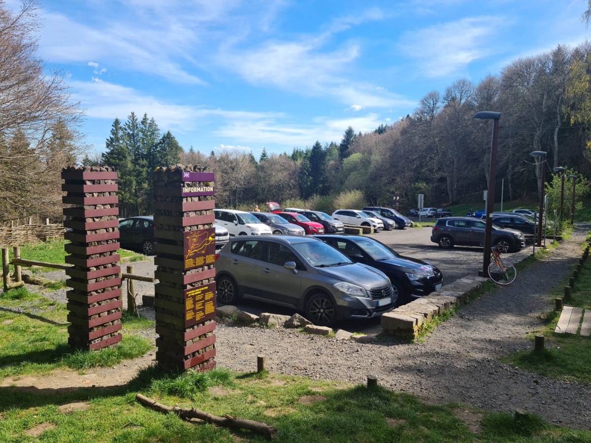
Nowadays, the Chemin des Muletiers starts from the Col de Ceyssat parking lot, just below Puy Lacroix, a small intermediate puy before the ascent of Puy de Dôme.
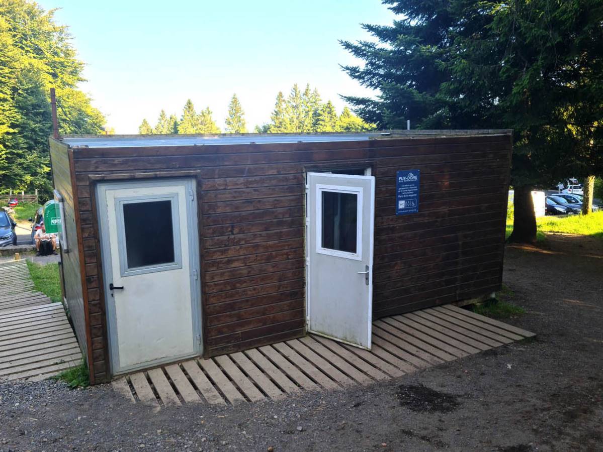
The Col de Ceyssat parking lot at 1070 meters is perfectly equipped for both cars and campers, and is free of charge. However, as the number of spaces is limited, it is sometimes saturated in high season. We therefore strongly advise you to park before 10 a.m. in July and August. Once the parking lot is full, visitors regularly overflow onto the south side of the D68, along the edge of the forest. These parking spaces are not approved and remain the responsibility of the drivers. At the top of the Muletiers parking lot, you'll find sanitary facilities and a water point for filling bottles before tackling the volcano slope.
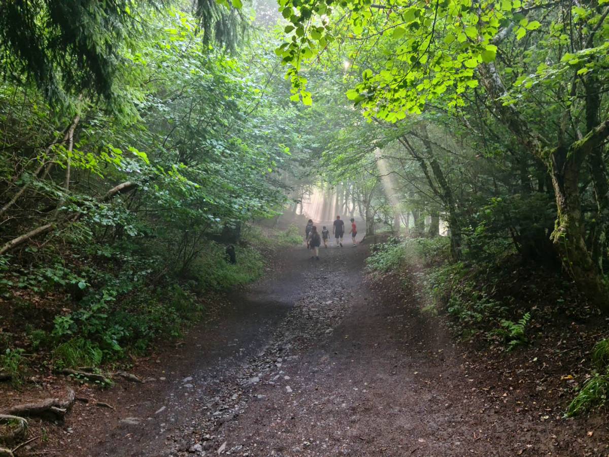
If you measure from the parking lot to the finish step giving access to the esplanade of the Puy de Dôme train station, you need to allow around 350 meters for a distance of just 2.4-2.5 km. Suffice to say, it's a pretty steep climb. The mule track has been perfectly maintained year after year and is quite rolling. Made up of small stones, it poses no problem on the way up, apart from the physical effort involved, but is a little more technical on the way down, as it's easy to slip on these small stones. So it's best to bring good hiking boots and a pair of poles if you're not familiar with this type of slippery slope.
The path remains open all year round, under the responsibility of hikers. Of course, in winter, snow can be a problem, and the path quickly becomes a skating rink. Some even go tobogganing. In other words, the snow is packed and packed well! If this is the case, we strongly advise you to opt for small anti-slip ice crampons that fit under the soles of your classic hiking boots. You'll find these crampons in any good sports store in the region, such as Glisshop or Decathlon.
10 minutes and 42 seconds is the speed record for the ascent of the Chemin des Muletiers, held by Quentin Meyleu since September 2024. Now, not everyone is a trail runner at heart or in their thighs. For the average person with a bit of training, you'll need to allow for a good half-hour's ascent. For a family with children, you can allow 1 hour to take a few breaks on the bends and enjoy the view.
The yawing climb up the south-east flank of Puy de Dôme is made up of 15 bends, all numbered on small yellow plates. Some are wide and rolling, others steep and short. If you get tired, you'll find benches on some of the bends. So you can enjoy the scenery while your legs cool down and you have something to eat or drink.
As is often the case in the mountains, the weather can change dramatically during the day. So it's important to bring a windproof jacket and possibly a spare t-shirt to keep you dry once you've completed the ascent, and to protect you from the wind, which can blow hard at 1465 meters altitude.
Of course, you'll also need to take something to eat and drink with you on the hike. In case of need, you'll find water and sanitary facilities at the Col de Ceyssat parking lot, as well as at the summit in the Panoramique des Dômes station or in the museum area.
